Alabama's Geological Survey (GSA) stands as a venerable institution with a legacy dating back to 1848, boasting a lineage of distinguished leaders and a current stewardship under State Geologist Berry H. Nick Tew Jr.
Nestled within the University of Alabama in Tuscaloosa, the GSA is structured around four core programs, encompassing geologic investigations, groundwater assessment, energy inquiries, and ecosystems research.
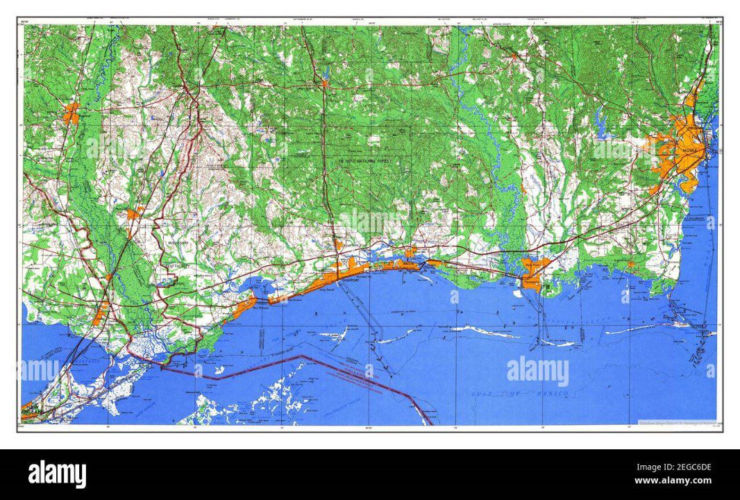
Its extensive work in geologic mapping and hazards, as well as water resources and conservation, serves as a linchpin in comprehending the state's geology and potential perils, informing governmental policies, and delivering invaluable insights to various sectors and the public.
Moreover, the GSA extends public services, offering access to maps, scholarly materials, and fossil archives, rendering it an indispensable asset for those delving into Alabama's ancient chronicles.
Key Takeaways
- The Geological Survey of Alabama (GSA) was founded in 1848 and has a long history of studying the state's geology and natural history.
- The GSA is organized into four main programs: Geologic Investigations, Groundwater Assessment, Energy Investigations, and Ecosystems Investigations, focusing on various aspects of Alabama's geology and natural resources.
- The Geologic Mapping and Hazards Section of the GSA produces maps that help identify geological hazards like earthquakes and sinkholes, providing valuable information for governmental decision-making and resource development.
- The GSA also plays a crucial role in assessing and developing water resources, conducting research on groundwater and surface water data, and monitoring and managing water resources effectively and efficiently. Additionally, the GSA provides valuable services and resources to the public, including access to maps, research materials, and fossil collections.
History and Leadership
Since its establishment in 1848, Alabama's Geological Survey has been led by notable individuals who have made significant contributions to the organization's historical development and scientific achievements.
Michael Tuomey served as the first State Geologist, laying the foundation for geological research in Alabama.
Eugene Allen Smith, a prominent figure, produced the state's first geologic map and organized the Alabama Museum of Natural History.
Walter B. Jones expanded the organization's focus to include archaeology at Moundville.
Philip LaMoreaux continued to advance the survey's scientific contributions.
These notable figures have shaped the survey's trajectory, establishing a legacy of excellence in geological research and leadership.
Their contributions have been instrumental in the survey's continued success and impact on Alabama's understanding of its geological history.
Programs and Divisions
The Geological Survey of Alabama (GSA) is organized into four main programs: Geologic Investigations, Groundwater Assessment, Energy Investigations, and Ecosystems Investigations.
- Geologic Investigations Program: Conducts geological research, maps rock types and structures, investigates natural hazards, and maintains fossil collections.
- Groundwater Assessment Program: Specializes in hydrogeologic assessments, conducts research on groundwater resources and coastal resources.
- Energy Investigations Program: Focuses on diverse energy resources, including coal, oil, and gas.
These programs play a vital role in understanding Alabama's geology, assessing groundwater resources, and conducting essential geological research.
The GSA's dedicated efforts in hydrogeologic assessments and geological research provide valuable information for governmental decision-making, resource development, and public awareness.
Geologic Mapping and Hazards
Geologic Mapping and Hazards Section of the Geological Survey of Alabama produces detailed maps displaying the locations, thickness, and depth of rocks and minerals in the state. These maps are crucial for understanding the geology of Alabama and identifying potential geological hazards such as earthquakes and sinkholes.
The section employs advanced geologic mapping techniques to accurately represent the state's geological features and conducts seismic activity analysis to assess the risk of earthquakes. By providing this vital information, the Geologic Mapping and Hazards Section aids governmental decision-making, resource development, and public safety.
These maps are invaluable resources for industries and the general public, offering crucial insights into the geologic landscape and potential risks in Alabama.
Water Resources and Conservation
Groundwater Assessment Program of the Geological Survey of Alabama evaluates and develops water resources for various uses, ensuring efficient and effective management and conservation. This involves:
- Conducting Hydrogeologic Assessments: The program conducts thorough assessments of groundwater resources, ensuring their sustainable use and management for various purposes.
- Researching Coastal Resources: The program conducts extensive research on coastal resources, focusing on coastal resilience and the management of water resources in these critical areas.
- Watershed Research: The program engages in comprehensive studies on aquatic biology, water quality, and watershed research, ensuring the conservation and sustainable management of water resources.
The program's efforts play a crucial role in ensuring the effective utilization and conservation of water resources, particularly in coastal areas, while also promoting groundwater management and sustainability.
Services to the Public
Providing valuable information and resources, the Geological Survey of Alabama offers services to the public, including access to maps, research materials, and fossil collections.
Through public outreach initiatives, the Survey actively engages with communities to educate and inform about the state's geological heritage and natural resources.
Educational programs, such as workshops, field trips, and lectures, are conducted to enhance public understanding of geology and its significance.
By offering these services, the Survey aims to foster appreciation for Alabama's geological history and promote responsible stewardship of the state's natural environment.
These activities not only cater to the public's curiosity about the Earth's ancient past but also contribute to the overall knowledge and awareness of geological matters among citizens and organizations alike.
Research and Discoveries
The Geological Survey of Alabama has conducted numerous studies and made significant discoveries in the field of geology over the years.
- Paleontological findings: The survey has unearthed remarkable fossil discoveries that shed light on the ancient life forms that once inhabited Alabama. These findings have provided valuable insights into the state's prehistoric ecosystems and the evolutionary history of its wildlife.
- Archaeological excavations: Through meticulous excavations, the survey has unearthed archaeological treasures, including Native American artifacts and ancient settlements. These discoveries have deepened our understanding of the state's early human inhabitants and their cultural practices.
- Geologic research: The survey has conducted extensive research on Alabama's geological formations, uncovering valuable information about the state's ancient landscapes, rock formations, and mineral resources. This research has contributed to a comprehensive understanding of Alabama's geological history.
These research and discoveries have significantly enriched our knowledge of Alabama's geological and archaeological heritage.
Future Initiatives
To enhance understanding of Alabama's geological heritage, the Geological Survey of Alabama plans to prioritize conducting advanced geophysical surveys. These future initiatives will involve leveraging technological advancements in geophysical surveying to explore and map the state's subsurface geology with greater precision.
The aim is to uncover new insights into Alabama's ancient geological secrets, including the identification of potential mineral resources, natural hazards, and groundwater reservoirs. By employing cutting-edge technologies, such as advanced seismic imaging and electromagnetic surveying methods, the Geological Survey of Alabama seeks to enhance its ability to conduct comprehensive and detailed assessments of the state's geological composition.
These future exploration efforts will contribute to a more comprehensive and accurate understanding of Alabama's geological landscape, thereby facilitating informed decision-making and resource management.
Frequently Asked Questions
What Are the Current Challenges and Obstacles Faced by the Geological Survey of Alabama in Conducting Their Research and Investigations?
The Alabama Geological Survey faces challenges due to funding constraints, impacting research methods. The organization also navigates obstacles with technology advancements, balancing traditional geological investigations with emerging tools. Overcoming these hurdles is crucial for advancing scientific understanding and resource management.
How Does the Geological Survey of Alabama Collaborate With Other State Agencies and Organizations to Address Environmental and Geological Concerns?
The Geological Survey of Alabama collaborates with state agencies and organizations to address environmental and geological concerns through collaborative partnerships, environmental conservation, community outreach, and research advancements. These efforts contribute to informed decision-making and resource development.
What Are Some of the Most Significant Discoveries or Findings Made by the Geological Survey of Alabama in Recent Years?
Significant discoveries and geological advancements by the Geological Survey of Alabama in recent years include breakthroughs in understanding the state's geology, identification of potential hazards like earthquakes, and research into diverse energy resources. These findings provide valuable insights into Alabama's ancient secrets.
How Does the Geological Survey of Alabama Incorporate Community Engagement and Education in Their Efforts to Promote Geological Awareness and Conservation?
The Geological Survey of Alabama incorporates community engagement and educational outreach to promote geological awareness and conservation. Through programs, public events, and educational materials, they engage with communities to foster understanding and appreciation of Alabama's geology.
What Are the Long-Term Goals and Visions for the Geological Survey of Alabama in Terms of Advancing Geological Research and Conservation Efforts in the State?
The Geological Survey of Alabama aims to advance research and conservation efforts by mapping geological hazards, assessing water resources, and conducting energy investigations. Long-term goals include enhancing understanding of the state's geology and fostering sustainable resource development.
Conclusion
In conclusion, Alabama's Geological Survey has a rich history, steadfast leadership, and essential programs and divisions.
Its work in geologic mapping and hazards, as well as water resources and conservation, plays a crucial role in understanding the state's geology and potential risks.
The GSA's services to the public, including access to maps, research materials, and fossil collections, make it an essential resource for those interested in uncovering Alabama's ancient secrets.
Our Reader’s Queries
What are the 5 geologic regions of Alabama?
The state is geographically divided into five sections: the Cumberland Plateau, Highland Rim, Valley and Ridge, Piedmont Upland, and East Gulf Coastal Plain. Each section has unique rock compositions and ages, which shape the landforms in that area.
What type of rock is found in Alabama?
The majority of the state is blanketed with sedimentary rocks, while igneous and metamorphic rocks are mostly found in the eastern-central region. Alabama’s minerals range from everyday rock-forming minerals like clay, calcite, and quartz to valuable precious metals like gold.
Where is granite found in Alabama?
Alabama’s igneous and metamorphic rocks have yielded a plethora of metallic and nonmetallic minerals, such as gold, lead, zinc, mica, talc, asbestos, and kaolin. Additionally, marble (the official state rock) and granite have been successfully quarried from the Piedmont Upland.
What does the geological survey do?
The U.S. Geological Survey stands as the largest agency in the country dedicated to water, earth, and biological science, as well as civilian mapping. Its main job is to gather, track, study, and offer scientific insights into the natural resources, conditions, and challenges we face.
Check Out For More References