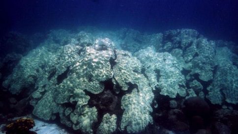
Unprecedented Ocean Heat: The Atlantic hurricane season unexpectedly enters uncharted waters. Seasonal forecasters are worried about record-high water temperatures in the Atlantic Ocean and Gulf of Mexico. These record-breaking warm ocean temperatures require greater preparation for an uncertain forecast with the potential for more frequent and stronger storms.
Warm ocean water fuels hurricane formation and intensification. The amount of warm ocean water this year is astounding. Since scientists warned in April, ocean warmth has increased. The Gulf of Mexico and Atlantic have set records for early-year warmth. The Florida Keys’ waters off the coast have reached 97 degrees Fahrenheit.
Warm ocean water creates bigger, rainier storms. Warm oceans fuel hurricanes’ growth and intensification. Meteorologists predict more intensification this season. Warm ocean temperatures increase evaporation and storm rainfall.
However, hurricane season predictions depend on many factors, including warm water. Warm ocean temperatures create uncertainty, but other variables complicate the hurricane season’s outlook. Dr. Phil Klotzbach, a renowned atmospheric scientist at Colorado State University, stressed the season’s uncertainty.
Dr. Klotzbach and CSU pioneered long-term hurricane season outlooks. Warmer Atlantic water has increased their season prediction for hurricanes and major hurricanes. This year’s circumstances increase uncertainty. El Niño, which suppresses Atlantic activity through wind shear, complicates matters. El Niño disrupts storms by changing wind direction and speed with altitude.
Dr. Klotzbach acknowledged that record-breaking temperatures and a moderate to strong El Niño are unprecedented. Warm ocean temperatures or El Niñowhich will win? Dr. Klotzbach and his team now expect an above-average Atlantic hurricane season because warm water will prevail.


READ MORE: Frozen Passion: The Arctic Through the Lens of Photographer Florian Ledoux
From historical data, warm water won June. Dr. Klotzbach reported the lowest wind shear in the southern Atlantic Basin since 1988 that month. Storms like Arlene, Bret, and Cindy resulted. Wind shear and dry air from Saharan dust have suppressed hurricane activity in July, but August through October looks different.
Climate models predict slightly below-normal wind shear in the coming months, according to Dr. Klotzbach. Given Atlantic warmth, these models predict a very active hurricane season. Tropical development is unpredictable. Subtropical Storm Don is in the north-central Atlantic but does not threaten land. Forecast models suggest tropical development next week, but it’s too early to tell.
As August approaches, hurricane season builds. Early to mid-August usually sees the first hurricane. In the eight weeks from mid-August to mid-October, Atlantic ocean temperatures peak and wind shear decreases. 90% of Atlantic hurricanes occur during this timeframe.
This season’s scorching ocean temperatures are unprecedented. Thus, season forecasting is difficult. Prepare for the worst while hoping for the best with plenty of hurricane season left. Record-breaking ocean temperatures and a cascade of unpredictable factors have thrust us into uncharted waters, requiring heightened vigilance and readiness.

